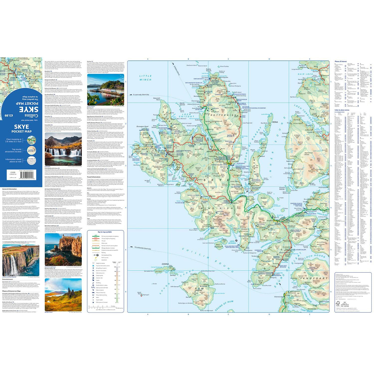
Skye Pocket Map

Price: £3.99
Quantity
(In Stock: 6)
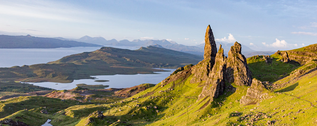
Handy little full colour Collins map of Skye with a high level of detail. Clear mapping of the Isle of Skye showing the road network, ferries and places of interest. Map at a scale of 1:175 000 (3 miles to 1 inch).
Clear, detailed, full colour Collins road mapping is presented in a handy format ideal for the pocket or handbag. It is excellent value and covers the whole of the Isle of Skye.
This map includes:
- Scotland route map
- Caravan and camping sites
- Tourist locations
- Ferry links
- Listing of major places to visit, with additional details for Dunvegan Castle, Old Man of Storr and Loch Coruisk
- Detailed place names index