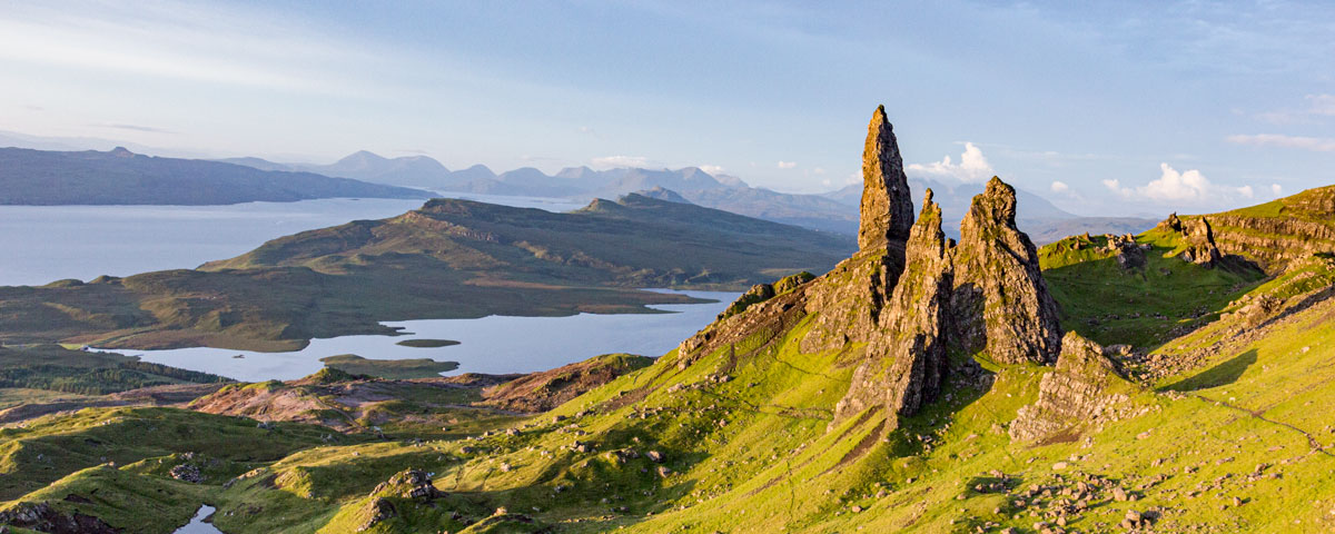
OS Map - Trotternish
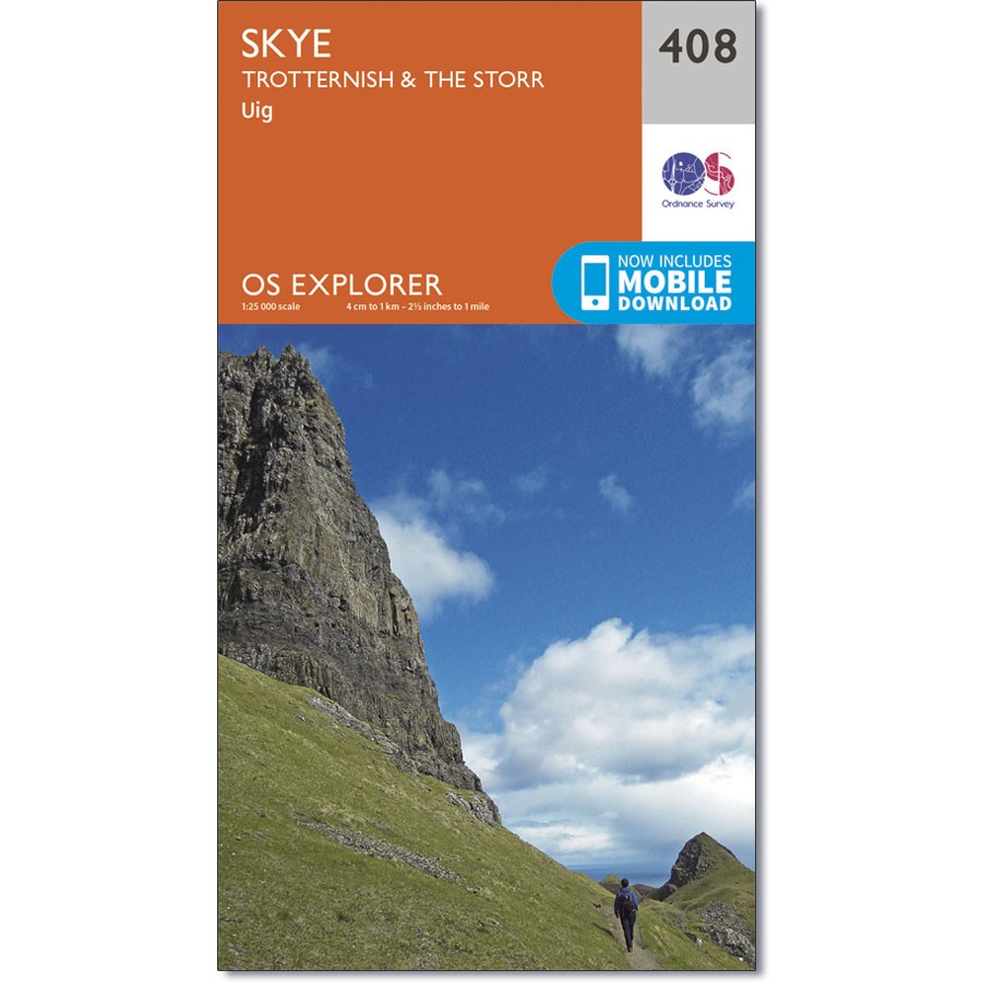

Price: £12.95
Quantity
(In Stock: 4)
Ordnance Survey (Explorer 408)
The most detailed map of Trotternish, Staffin, Uig, The Storr and The Quiraing at a scale of 1:25,000. It shows the most detailed account of the terrain with clear heights & grid references. Suitable for navigation and ideal for anyone doing more advanced walks.