
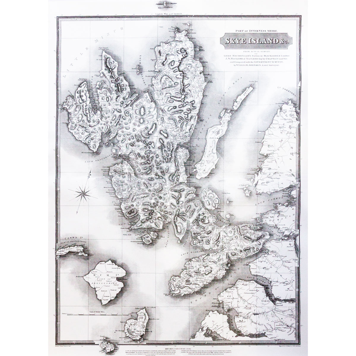
Historical Skye Map
Price: £12.95
Quantity
(In Stock: 3)
A beautiful full-scale reproduction of John Thomson's classic map of Skye and the adjoining islands (including the Small Isles) and west coast mainland, surveyed by William Johnstone in the 1820s and first published in 1824.
This is a most informative map, with hundreds of place-names showing a pre-improvement age when Skye was heavily populated and before many of the clearances had taken place, with places such as Knoydart having a much larger population than the Mallaig area.
Size: 534mm (W) by 724mm (H)
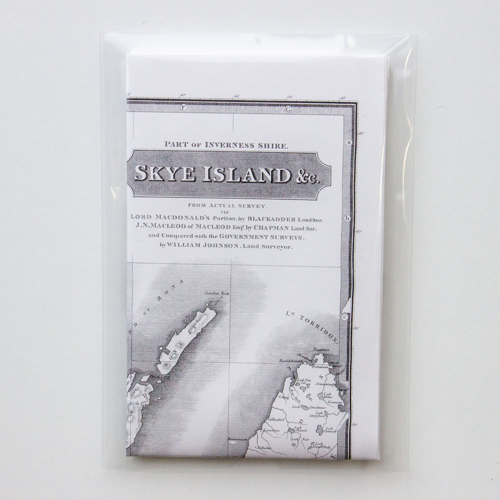
Delivered folded in a plastic wallet. We have found with careful ironing the folds can generally be removed leaving the print ready for wall hanging or framing.